

Moana Project data available in new SwellMap website
As part of the new SwellMap website release, Moana Project data have been made available, allowing users to access sea temperature (Figure 1) and current velocity (speed) (Figure 2) forecasts. These mapped forecasts sit alongside long-standing boat and surf forecasts and are used by a range of ocean users across Aotearoa New Zealand.
The new SwellMap features site specific forecasts for waves, winds and sea surface temperatures (from the Moana Project modelling), which can be accessed at any location within the region modelled by simply clicking on the required location.
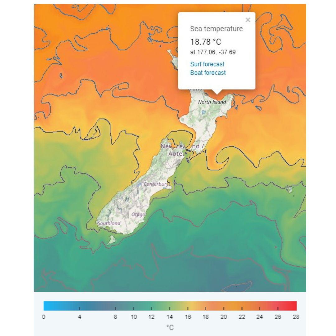
Figure 1: SwellMap ocean temperature forecast showing a selected location offshore of the Bay of Plenty, Te Moana-a-Toi
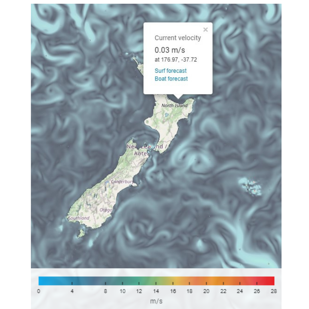
Figure 2: SwellMap current velocity forecast showing a selected location offshore of the Bay of Plenty, Te Moana-a-Toi
The updated SwellMap application uses an API developed by the Moana Project to gain easy and rapid access to the mapped oceanic and atmospheric conditions.
“The latest SwellMap update provides an accessible, high-quality interface to see ocean forecasts developed with data from the Moana Project. Data collected from the Mangōpare sensor programme feeds into the ocean temperature forecast, helping improve the forecasts,” explains Moana Project Science Lead Dr. Joao de Souza.
SwellMap is an open-access website developed by MetOcean Solutions. One of the country’s most extensive and dedicated marine forecasting websites, it was the first marine forecast dedicated to recreational users.
The updated website can be accessed for free at https://swellmap-website.vercel.app/boat-forecasts/new-zealand
and features an array of new capabilities including:
New animated maps, where users can click any location to view detailed forecast for the area.
Forecasts generated from customised high-resolution models using technologies developed for the commercial sector.
The option to use models that are guided with the Global Forecast System and the European Centre for Medium-Range Weather Forecasts, both of which are established forecasting systems that generate data internationally.
Mapped observation data like the Rain Radar and Chlorophyll- a as well as cloud cover forecasts.